


Maritime surveillance
Why maritime surveillance?
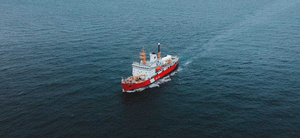
Maritime surveillance plays a crucial role in protecting a nation’s interests and sovereignty by monitoring and safeguarding its territorial waters. This enhances internal security through various safety and security measures, including monitoring fishing boats, detecting clandestine boats, and dismantling illegal trafficking that uses the sea as a means of entry into the territory. In addition, the BOREAL system contributes to saving lives at sea by providing support in search and rescue missions.
Furthermore, maritime surveillance has an environmental aspect, as it enables the monitoring of protected areas, pollution (such as oil spills), and the preservation of marine fauna and flora. This includes monitoring protected species and regulated fishing resources.
Why Use Drones in Maritime Surveillance?
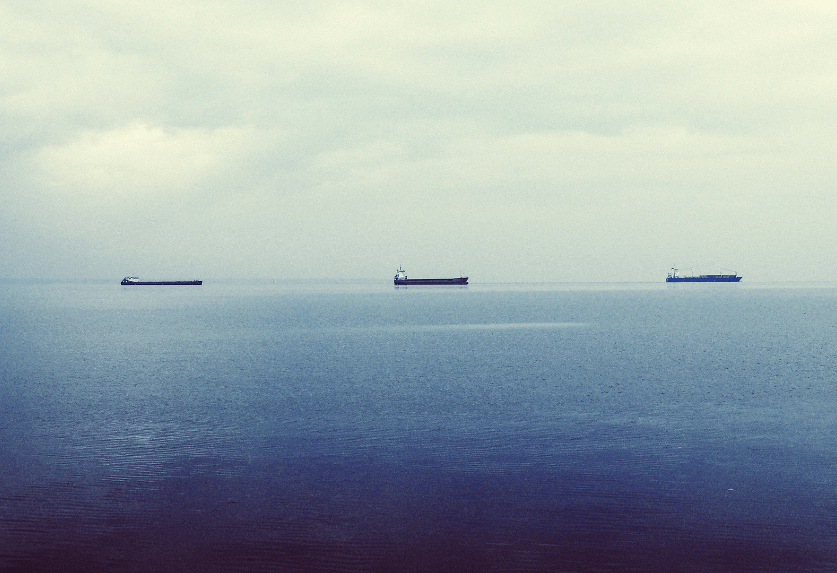
Although coastal radars are widely used, they unfortunately do not provide sufficient precision nor do they allow for discrimination of the identified element. The use of drones in maritime surveillance missions allows for the expansion of surveillance areas. Equipped with optronic cameras that have visible and infrared sensors, drones provide valuable details and become an essential complementary tool. The Boreal drone, in particular, allows for coverage beyond the areas covered by coastal radars. These systems allow for further exploration of territorial waters and for discreet reconnaissance missions. Drones provide reliable and highly effective surveillance by offering a much faster reaction time than maritime patrol aircraft (MPA) and frigates. Additionally, they are much more precise than the overall surveillance offered by satellites.
BOREAL's expertise in Maritime Surveillance
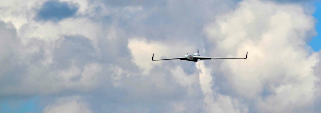
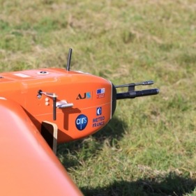
The BOREAL UAV system is particularly well-suited for maritime surveillance missions. It can be deployed on the coast or in remote areas, and its 8-hour endurance allows it to cover very long distances. The onboard satellite link allows operators to ensure flight safety at all times, without operational limitations, even in white zones.
Using its onboard gimbal camera, the BOREAL ISR drone can provide real-time visualization of the monitored area (up to a coverage range of 110 km from the receiving antenna), enabling operational teams to quickly assess an area and make decisions from the command center. Beyond this range, data is recorded onboard and processed on the ground.
Application cases

Maritime surveillance

Crisis management support

Supervision of large agricultural areas

Land register
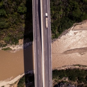
Monitoring of land routes
Scientific research
Inspection of infrastructure and industrial sites


